
Property Information
The topography of Nantucket was influenced by the geological conditions that created the island. The glacier that covered the New England area began its retreat more than 21,000 years ago.
Meltwater carried geologic debris south to the ocean and rising sea levels eventually separated Nantucket from the mainland, leaving behind the familiar island landscape of kettle ponds, glacial moraine, and outwash plains.

Sandplain blue-eyed grass, Sisyrinchium fuscatum
The natural communities found on Nantucket represent a diversity of habitats that are home to numerous plant and animal species. At the Linda Loring Nature Foundation, the 275 acres of open space is dominated by coastal heathlands, sandplain grasslands, and vegetated wetlands. These habitats provide sanctuary for an abundance of wildlife.
The heathlands and sandplain grassland communities are designated as globally threatened ecosystems and are also home to a number of species listed by the Massachusetts Natural Heritage and Endangered Species Program (NHESP). Additionally, the Nantucket Land Council documented two vernal pools on the property which have been certified by NHESP.
Biological inventories have identified five plant species listed by NHESP as rare in Massachusetts, Corema conradii (broom crowberry), Linum intercursum (yellow flax), Crocanthemum dumosum (bushy rockrose), Amelanchier nantucketensis (Nantucket shadbush), and Sisyrinchium fuscatum (sandplain blue-eyed grass) were documented by Robert Zaremba (1983).

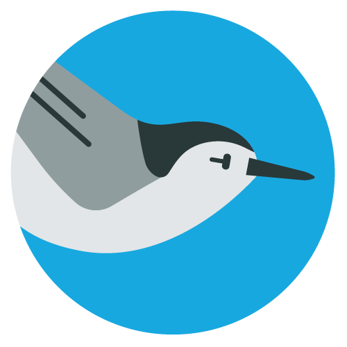
Northern Harriers can be seen flying across the property year-round.
The open landscape also provides excellent breeding habitat for the graceful Northern Harrier (Circus hudsonius) and Osprey (Pandion haliaetus). In addition to the wildlife that lives on the property, an abundance of migratory species find refuge here.
Complete inventories of the property will evaluate the presence of other species of special interest and contribute to an overall land management plan for the property. Education through the outdoor classroom at the Linda Loring Nature Foundation will deepen one’s connection to nature and strengthen the understanding of conservation issues and ecological relationships of the local environment, thus promoting habitat protection.
A self-guided scenic trail is open to the public. The trail is approximately one mile long and is fairly easy walking with a few modest inclines. The trails are for walking and the quiet enjoyment of nature. Please note: horses, dogs, bicycles, and smoking are not allowed because they are a threat to wildlife and disturb other visitors.
Birdability is a nonprofit that works to improve the physical accessibility of birding locations, empower a welcoming and inclusive birding community, and introduce people with access challenges to birding.
Find us on Birdability!
The Birdability Map is a crowdsourced map that provides a detailed description on the accessibility features of birding locations all over the world. The purpose of the Map is to allow people with disabilities and other health concerns access to this information ahead of time, to help them decide if a location is one they would like to visit.
You can find detailed information on what features to expect when visiting LLNF, like benches, a mowed grass trail surface, and no gates.
You can view our site review (and hundreds of other birding spots!) here.